
6 things you should know before hiking the Seawall trail
If you’ve been following the online hiking community here in Nova Scotia, you may have heard of a hike through the northern part of Cape Breton Island called the Seawall Trail. What most people familiar with the proposed trail know but others fail to realize is that 80% of the 45-50km route is not on trail at all but rather a general route that takes you into some of the most rugged terrain in Atlantic Canada, that is, until the trail is developed. Depending on who you get a route from it may vary quite a bit and could mean quite a bit of bushwhacking. Hopefully, this trail will start development soon; however, in the meantime, I think there are a few things that anyone hiking the Seawall should know.

Hiking above the Polletts Cove Valley - photo by Shane Wilkie
1. Don’t underestimate the hike.
I’m aware of many failed attempts of the Seawall over the past few years and one or two that required evacuation assistance. I do not know specifics on some of these, but have heard from folks involved that poor planning and underestimating the difficulty of it had this hike come into play. This is why it’s best to research maps and even watch some of the many videos on YouTube, which will give you a good idea of what you’re in for. After guiding dozens of clients on this route, I can confidently say that this hike has been voted one of, if not, the most difficult hike compared to similar multi-day hikes like Long Range Traverse, Nepisiguit, Fundy Footpath, Cape Chignecto among others.
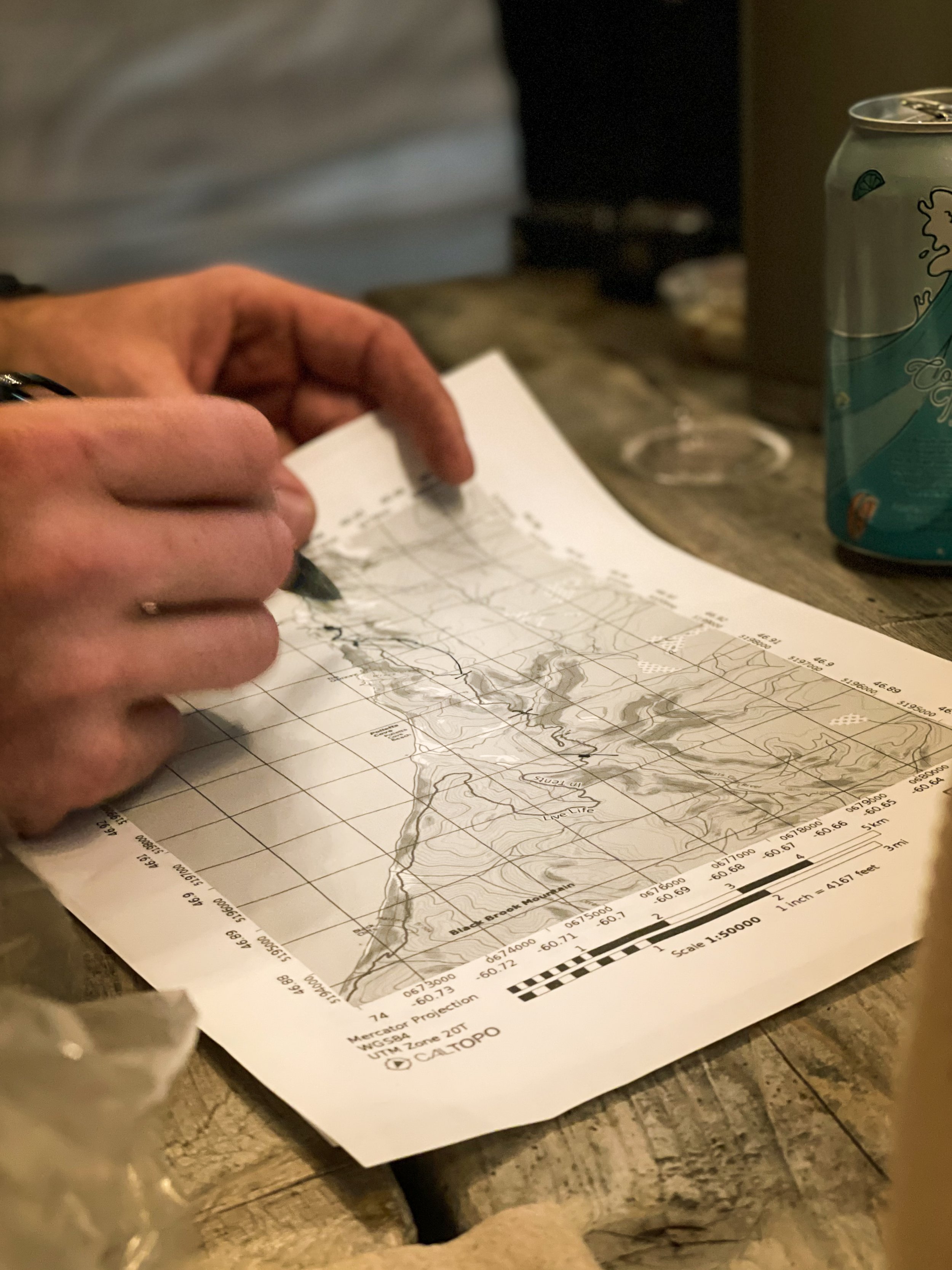
2. Don’t follow a GPS track too closely
Like I previously mentioned, there are routes floating around online. These are generally recorded and uploaded from those who’ve only hiked it once, recorded the GPS route, and uploaded online or shared it around. Each one of these GPX files I’ve looked over takes you to all the similar major waypoints however, they almost always take you into some less favourable areas that will make you question why you did this hike in the first place. I’m talking thick bushwhack, swamps, and deadfall fields that are a maze to get through. This is why, if you’re following one of these online routes, then use it as a reference, but make game time decisions that look or seem like better alternatives based on the terrain. If something seems like a better route, then take it. You’ve got that GPS with you, so you can always find your way back to it.
3. Don’t pack too much and bring the right clothing
Any seasoned hiker who reads this has been here before. You pack a couple of extra items just in case you need them, and then a day or two in climbing mountains, hating that decision. Take what you need and don’t overthink it. One good way to do this is to create a packing list so you know exactly what to take and what you don’t need. It’s good practice to create simple and easy packing lists for trips like this. Over time, you’ll add or delete items, but in the end, it will save you time and save you from cursing yourself while climbing those mountains.
Another thing to note: wear pants, long-sleeved shirts, and take a pair of gloves with you. There is a significant amount of bushwhacking on this route, so protect yourself and thank me later.

Top of Bald Mountain - Photo by Ash Mac
4. Make a safety/emergency action plan
It wasn’t until I started guiding people that I implemented safety and emergency plans. Now it’s a standard practice for almost all of my trips. This can be as simple as letting someone know when and where you’re going and a quick plan of what happens in the event of an injury, trip delay or that you won’t be at the designated finish location on time. Of course, with all of this, I highly recommend that you always take a GPS communication device such as an inReach, Spot or, Xoleo with you as a means of communication or, in case of a serious emergency, to be used as a SOS beacon. These plans are best written down and reviewed with your whole group and should include some of the following:
Date and place of departure and completion
Route information
Trip leader info
Emergency procedures / what happens in the event of A,B,C, etc
Emergency evac points
Hazard assessments
GPS comms address
5. Coordinate a shuttle or bring two vehicles
As of today (April 27, 2025), there are no shuttle services for the Seawall that I know of. We get dozens of emails every year asking about it, and the only answer is to bring two vehicles. If you do find one, or are someone who would so this, please let us know and we’ll gladly send people your way.

Waterfall Viewpoint of Lower Delaney’s Brook - Photoby Ash Mac
6. Pick the right time of season to go
When it comes to the Seawall, not all seasons are equal. Here’s some info about each season and the time to hike it:
Spring (April - June)
Early April to Early May is not an ideal time to hike the Seawall. Although there are no leaves on the trees and you’ll see all the trip hazards, there can still be snow on the plateaus, and all the water crossings may be too high and not passable. If you do plan to hike in April or even early May, it’s likely not a great idea to do so after a significant rainfall, since it will melt any snow in the highlands, and the rivers and brooks will be pumping.
Mid-May through June is likely ideal for spring. However, June is typically black fly season, and if you’re not used to lots of flies, pack a lot of fly dope. The later in June you go, the more grown the ferns and leaves will be on the trees, limiting visibility and increasing trip hazards, but still cooler temperatures.
Summer (July & August)
The summer is typically a great time to hike the Seawall however, days will be warmer, and the risk of dehydration goes up significantly. Pack lots of electrolytes and extra water bottles for ascents. The later in Aug you go, the dryer it will be on the plateaus and a lot of the springs will be dry. This is why we usually pack in one extra water bottle for use on ascents, so we don’t run out of water.
Fall (Sept & Oct)
Fall is my personal favourite. Days are warm and evenings are cooler. There is still enough daylight with some epic sunsets. The bugs are fewer but still present, and the trip hazards and trees are still full of leaves until later in October. Be prepared for morning dew, which means gaiters are ideal or quick-dry pants.
Winter (Nov - March)
Winter on the Seawall has been done a couple of times. I’ve done variations of the route on a couple of occasions however, I generally stick more inland than taking the coastal route. Mostly because hiking up and down mountains with snowshoes and a heavy pack kind of sucks. If you get out in November, you might beat the snow, but if you get into it, plan for a wet hike. Generally, you’ll get snow up on the plateaus and none in the valleys, which means lots of snow melt and wet feet. I’ve spent whole evenings around a fire drying things out just to get wet the next day.
Once the snow hits, the coastal route will get significantly more difficult. Sometimes, most of the water crossings will freeze; however, in recent years, this has been less and less. I would recommend staying high as much as you can and only crossing water if necessary.

Seawall Mountain - Guided Trip - Photo by Ash Mac
I hope you find this post informative. There are not many resources online about this hike, but please have a look on YouTube to find loads of videos of the hike. If you’re interested in joining any of our guided hikes or want a private guided trip, please click either link below for more information!
Click here for Seawall Guided Trips
Click here for Private Guide Services
Thanks for reading!
Lee